01 · CLIMATE HAZARDS MUNICIPAL
Climate Risk & Early Warning
Anticipate floods, landslides, and extreme weather before crisis points occur with high-resolution catchment models.
The planet is generating data. We turn it into accountable decisions. Every mountain river, forest canopy, municipal grid, industrial facility, and agricultural valley leaves a real-time signal. Weather. Hydrology. Energy. Particulate Matter. Biomass. Thermal Anomaly.
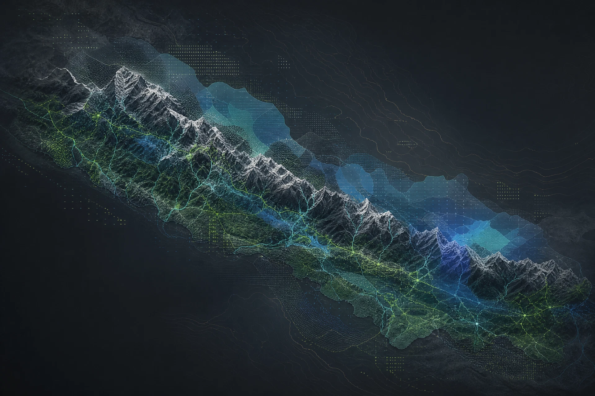
We operate where human technological capability, physics-based numerical modeling, and ecological stewardship unite into actionable decisions.
Multi-spectral Sentinel & Landsat imagery combined with IoT river telemetry and edge weather meshes to capture localized physical anomalies.
Deep neural architectures trained on high-altitude mountain hydrology, terrain rugosity, and snowmelt dynamics with quantified uncertainty.
Direct API pipelines into municipal early warning systems, hydropower dispatch controllers, and transparent enterprise ESG ledgers.
An interactive spatial intelligence console fusing Earth observation radar, ground river telemetry, and predictive machine learning models across Himalayan catchments.
Climate change is not one abstract event. It is a set of changing conditions that meet human bodies, homes, mountain watersheds, farms, and energy grids.
Source: World Bank Climate Change Knowledge Portal & ICIMOD Hindu Kush Himalaya Assessment. Verified baseline data for high-altitude mountain hydrology.
Climate-health assessments connect heat and climate variability with health risk, especially where care, water, and income are constrained. Exposure becomes a question of who gets protected first.
Rainfall that arrives more intensely cascades through slopes, roads, homes, and river channels. Early warning and watershed maintenance transform hazard into managed safety.
Nepal’s climate plans point toward climate-smart agroforestry, soil care, and localized smallholder technology access to build food security.
Clean cooking, reliable hydropower, electric mobility, and sanitation shape human health, time, safety, and dignity during ordinary and extreme weather.
Tailored technology modules designed for municipal governments, renewable energy utilities, research organizations, and ESG leaders.
Anticipate floods, landslides, and extreme weather before crisis points occur with high-resolution catchment models.
Machine learning workflows that reduce corporate resource burn, automate compliance auditing, and project ESG trajectories.
Transform continuous petabytes of radar and optical satellite feeds into accountable territorial change alerts.
Forecast river basin inflow and optimize turbine dispatch while strictly maintaining environmental base flows.
Real-time monitoring of river discharge, water table quality, municipal supply leakage, and basin vulnerability.
Data-driven material tracing, waste-to-energy lifecycle tracking, and industrial byproduct recovery systems.
Urban digital twins integrating particulate matter sensors, traffic congestion flows, and climate resilience zoning.
Acoustic sensor networks, drone photogrammetry, and satellite carbon indices protecting critical ecological corridors.
Reach out to schedule an in-depth demonstration of NCIP or discuss pilot data integration for your river basin, municipality, or clean energy portfolio.